GIS and georeferencing at FHYA

Ettore Morelli
A core component of what we do at the FHYA is being on the lookout for new challenges. This also means learning how to use new tools and testing them both in practice and in theory. From time to time, members of the team focus on a particular software and investigate if and how it can be deployed in digital archival curation.
In this spirit, last May FHYA team members Carolyn Hamilton, Ettore Morelli, Rifqah Kahn, Vanessa Chen, along with Michelle House, joined Stefania Merlo and Justine Wintjes from our Afridig partner project Metsemegologolo in an online training session on GIS, or Geographic Information System software. Led by Stefania Merlo, we learnt the basics of GIS and put them to work in georeferencing a map that was originally published in 1942. Everybody completed their own projects individually on their computers.
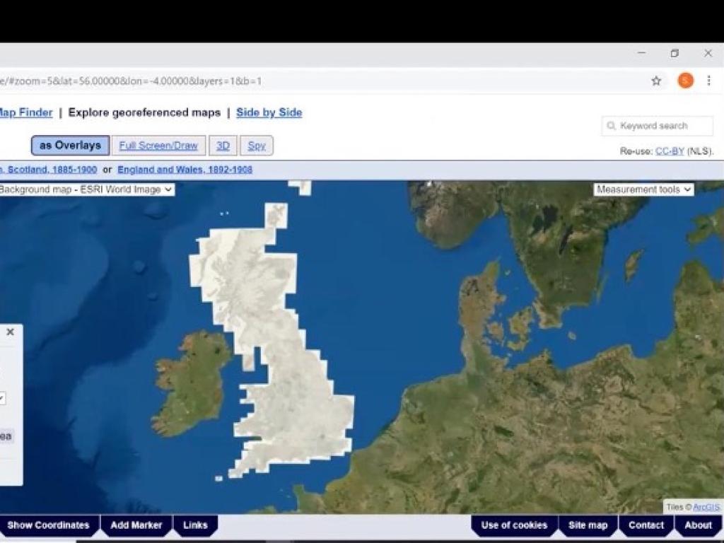
The procedure of georeferencing imported maps, created both analogically and digitally, in a GIS environment makes them available for further exploration using GIS software. Georeferencing holds particular importance for historical maps, potentially allowing for the tracing of places that have disappeared or have had their names changed in contemporary maps. It also works as an immediate check on the accuracy of the very historical maps that are being georeferenced.